Andrew Neuman

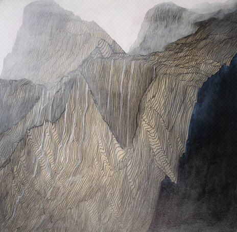
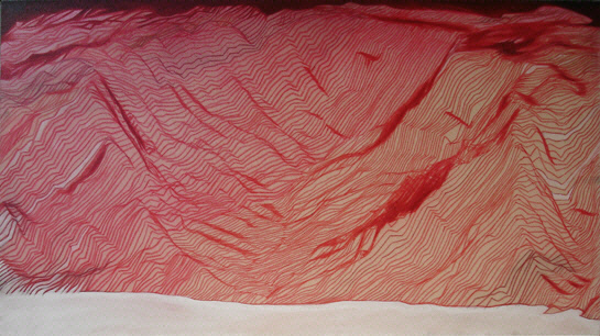
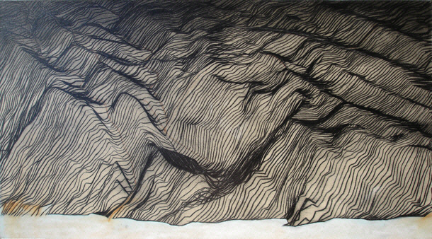
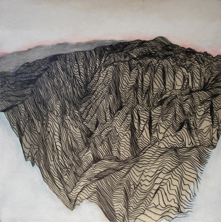
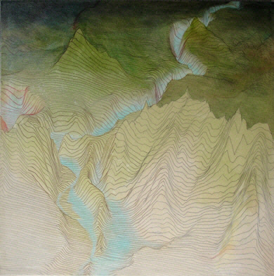
The problem of maps is brought up in this series, they are the product of technology's attempt to understand reality. This series of paintings was inspired by my decade long fascination with the islands of
I chose to work outside the history of landscapes bringing them into the present with intricate wire frame digital elevations derived from computer models based on 3D topographical calculations. I explored the landscapes as if in a helicopter and came up with details like the exact eye level, point of view, and number of meters between lines (to scale) on the "x" and "y" axis grids. Thus I fell in love with the form of the land stripped of its foliage and experienced it in a new way.
